The Ghost Postcode: Britain’s Phantom Villages and Why We Can’t Stop Mapping Them
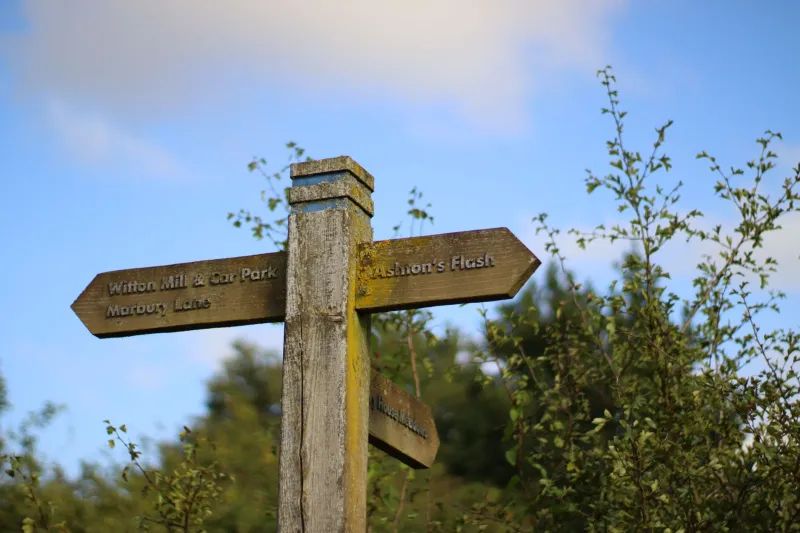
You’re driving. A sign says ‘Imber 2’. You follow. The road narrows, then ends at a gate. Beyond it: fields, silence, a church with no congregation. The sign was not lying. Imber exists — on maps, in records, in the memories of people who were told they’d be coming back. It just doesn’t exist in the way a village is supposed to.
Britain is full of these places. Settlements evacuated for war, drowned for reservoirs, eaten by the sea, or simply never built in the first place. They linger in the cartographic record like a ghost in a photograph. A name on a map is a promise. When the place is gone, the promise becomes a kind of horror story.
The Uncanny Cartography of Absence
Maps are bureaucratic documents. They are also folk tales. A village name implies a pub, a post office, a bus stop, a person who knows your aunt. When that name survives the place, the map becomes a lie with a postcode. It’s unsettling because it messes with our sense of reality. A place that can be named but not found is a wrinkle in the everyday. It suggests that the world is not as solid as we pretend.
The Ordnance Survey has a long memory. Old maps show field boundaries, footpaths, and settlements that have been gone for decades. Council records list addresses that no longer receive post. Road signs point to junctions that lead nowhere. The phantom village is a bureaucratic uncanny — an admin error that feels like a haunting.
A Field Guide to Nowhere
1. Imber, Wiltshire
Evacuated in 1943 so the military could train for D-Day. Residents were told they’d return after the war. They never did. The village is now part of Salisbury Plain training area. The church remains, and services are still held there. Visitors report a strange atmosphere — the sense of a place paused rather than abandoned. The sign still points the way. The village is still on the map. The people are not.
2. Tyneham, Dorset
Also evacuated in 1943. A note left on the church door read: ‘Please treat the church and houses with care.’ The village was never returned. Bullet holes scar the walls. The schoolroom still has children’s names on the pegs. The postcode exists. The village is a museum of interrupted life. Locals say the place feels less empty than paused.
3. Mardale Green, Cumbria
Drowned in 1935 to create Haweswater reservoir. The village was demolished, the valley flooded. In dry summers, the foundations reappear. The old road surfaces. Locals claim you can hear church bells under the water. The map still shows field boundaries beneath the blue. It is a place that exists in two states at once: drowned and mapped.
4. Hampton-on-Sea, Kent
A Victorian resort eaten by the sea. By the 1920s, most of it was gone. One resident refused to leave. He lived in a house on the cliff edge until it fell. The map shows streets that are now water. The pier remains as a stub. At low tide, you can see the remains of the old sea wall. It is a village that was never formally abolished — just eroded.
5. The Starfish Decoys
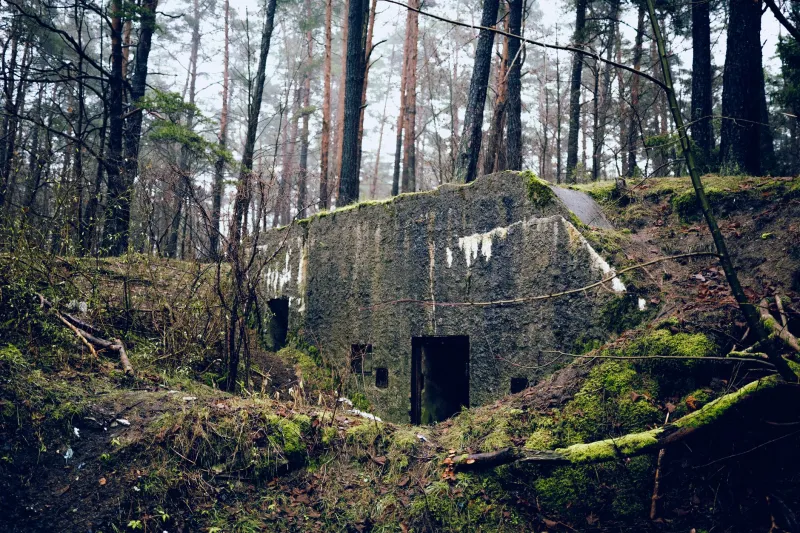
During the Second World War, Britain built fake villages, airfields, and industrial sites to fool German bombers. They were called Starfish sites. Fake streets, fake lights, controlled fires. After the war, they were abandoned. Some footpaths still lead to concrete pads. A few maps show ‘works’ that no longer exist. The decoys were designed to be seen from above. Now they are invisible — except on paper.
Why We Can’t Let Go
The phantom village is a kind of folk memory. It persists because bureaucracy is slow, because maps are expensive to update, and because we like the idea that places don’t entirely vanish. There is comfort in a signpost, even if it leads to a gate. The ghost postcode is a reminder that the map is not the territory — and that the territory can be taken away.
Drive home. The sign is still there. The village is still on the map. That is enough to make you check the rear-view mirror.